Precision meets Efficiency
UNLOCK THE PRECISION OF NET SCAN FOR YOUR TEAM
FOR OPERATORS
Quality as-builts
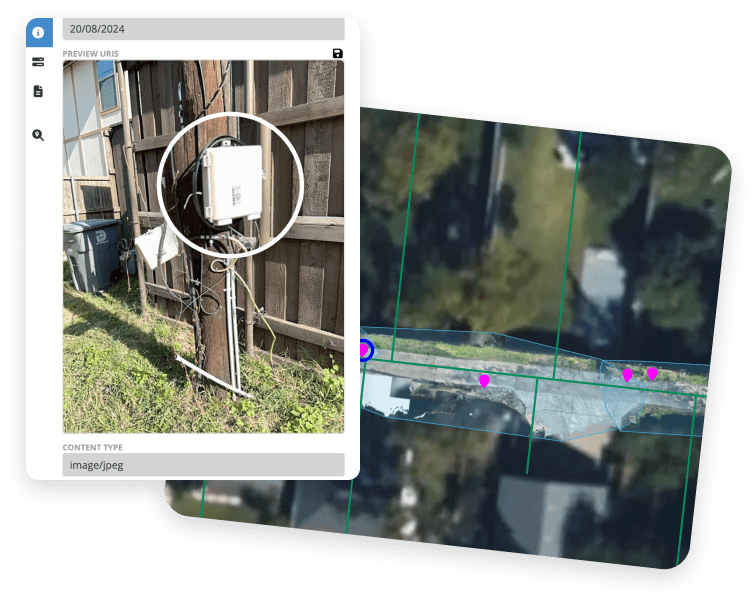
With high precision digital twin capture, high resolution geolocated photos, and integrated point capture, as-builts are captured as they happen, with GIS and Photo evidence.
Better prefielding for more accurate planning
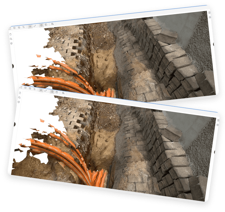
With NET Scan, a pre-construction digital twin is a designer’s source of truth. Capture true field conditions, take measurements to ensure permit compliance, and spot installation challenges before they occur.
Regulatory Compliance
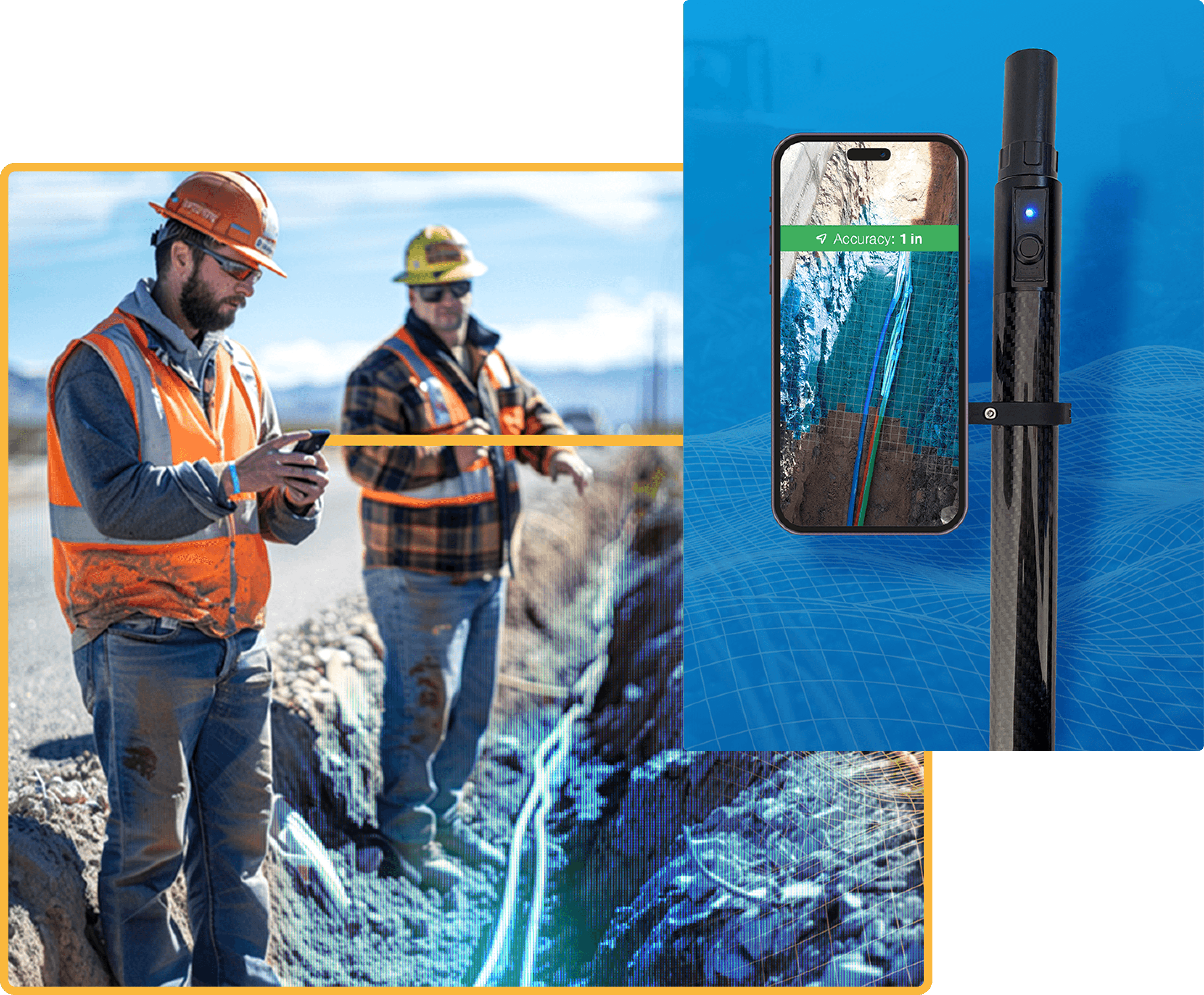
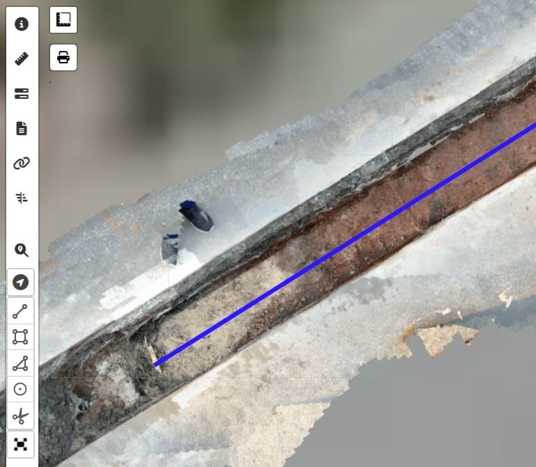
Many jurisdictions are requiring <4” variance in the GIS as-builts for any underground infrastructure. With RTK corrected GNSS, scans, cable paths and vault locations are verifiably collected through a simple walk over of the job site with sub 1 inch accuracy.
Operational Efficiencies
The exact location and installation configuration of infrastructure can be reviewed anytime. Verifiably accurate as-builts mean there is no ambiguity into what is in the field. Review cabinet or vault configurations, conduit layout, or splice configurations without a field visit.
FOR ENGINEERS
Highly accurate field records for accelerated engineering
Pre-field with NET Scan for accurate, measurable, digital twins of your area of operations. Capture obstructions and uncover challenges before construction teams are dispatched.
Comprehensive Documentation
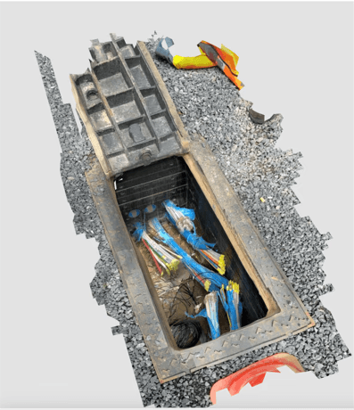
Every vault, handhole, conduit, and borepit are easily documented, with before and after conditions. NET Scan enables field crews to document work done and eliminate progress calls.
Real time collaboration to adapt to field changes
Send a photo and a scan to the engineer in real time to validate changes, communicate with clear and accurate documentation
Subcontractor monitoring and performance tracking
Progress shows up in real time with a birdseye view highlighting where work has been completed. Review and inspect yesterdays work, from anywhere, with high resolution geolocated photos and measurable digital twins.
FOR FIELD TEAMS
Easy to use progress documentation
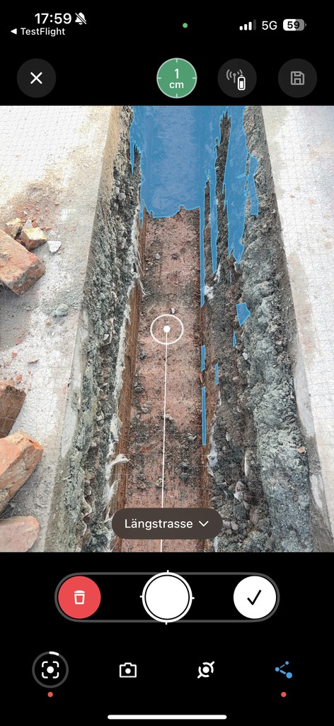
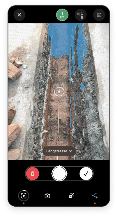
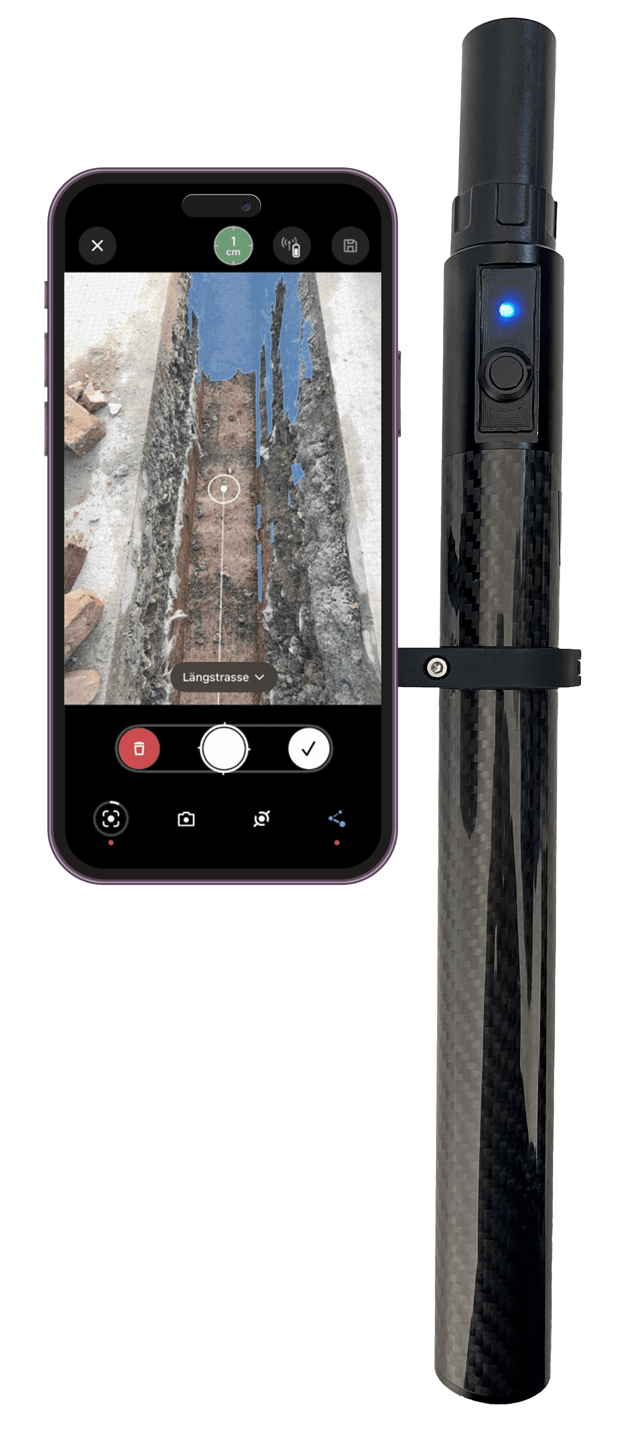
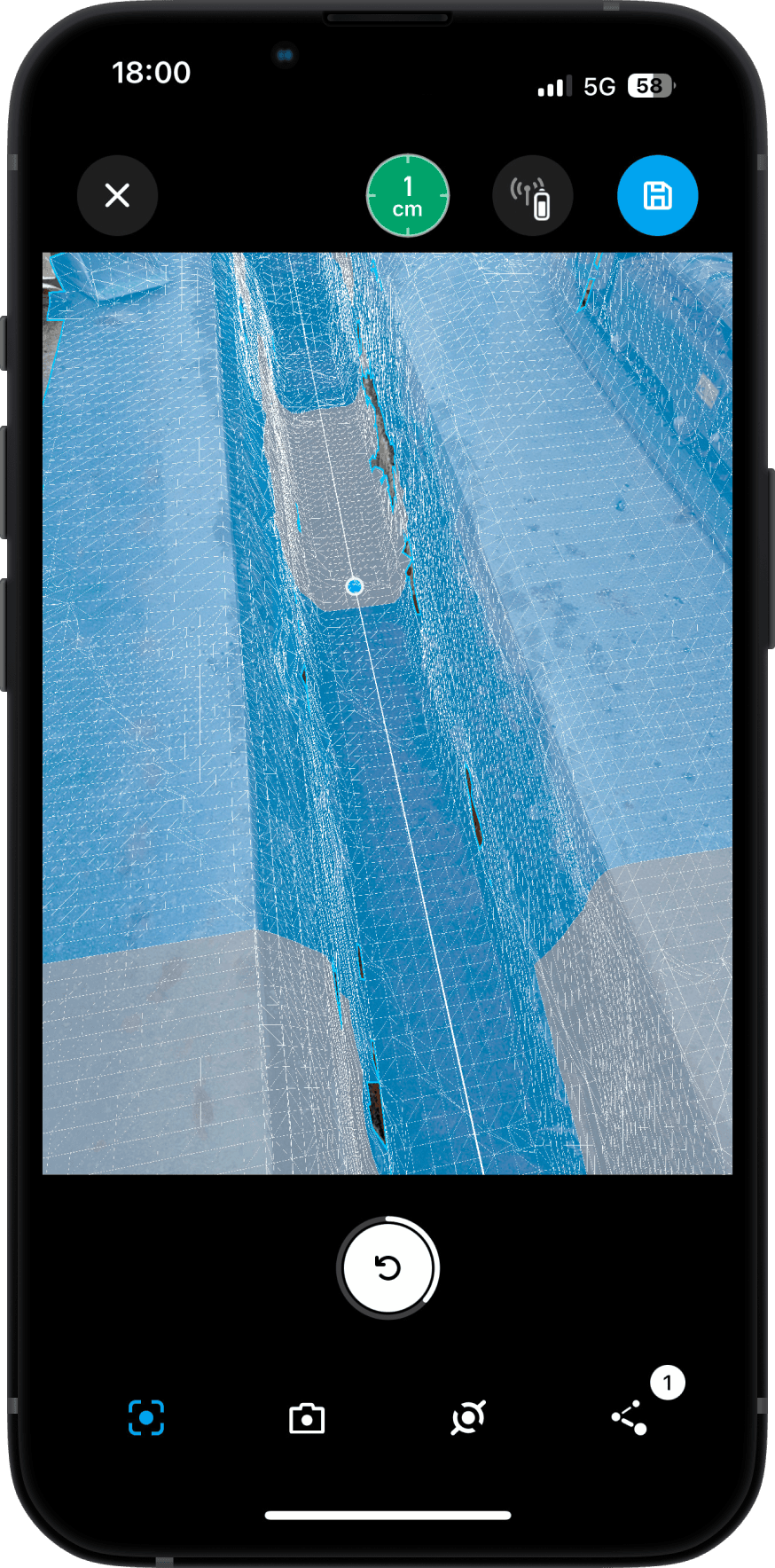
NET Scan is simple to use. As an all in one hardware, software and cloud application, users click a button, walk the site and submit. Progress is automatically captured and uploaded to the cloud with the fidelity to validate work and spot issues quickly.
Validate pre and post site conditions
Run a scan before and after site work to validate remediation and reduce disagreements about restoration conditions and damage done.
Transparently communicate changes and issues in the field
A 1 minute walk over of the site captures everything needed for as-built documentation, keeping the field teams productive. Capture changes or proposed routes (such as a vault relocation or a conduit re-routed to the other side of the intersection), documented with highly accurate map positioning.
01
02
03
Capture AS-builts
04
Review and Validate
05
Features
Field App
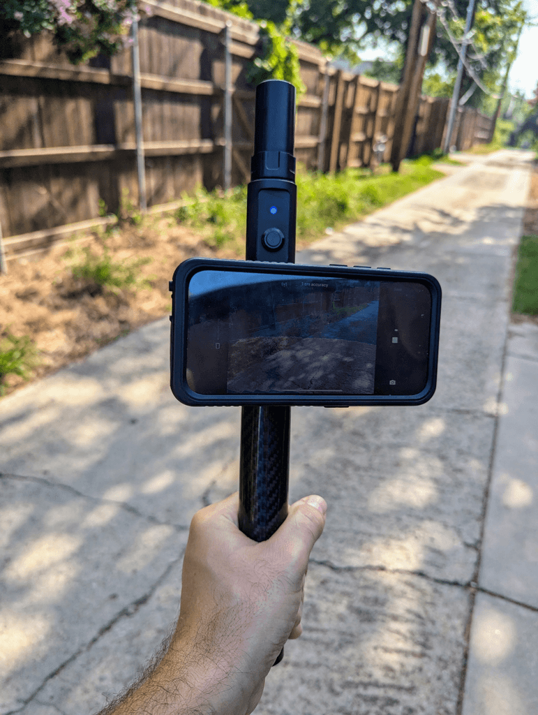
Preconfigured hardware with LiDAR and GNSS
NET Scan App for one button capture
Geolocated photos
Point and line as-builts captured as you go
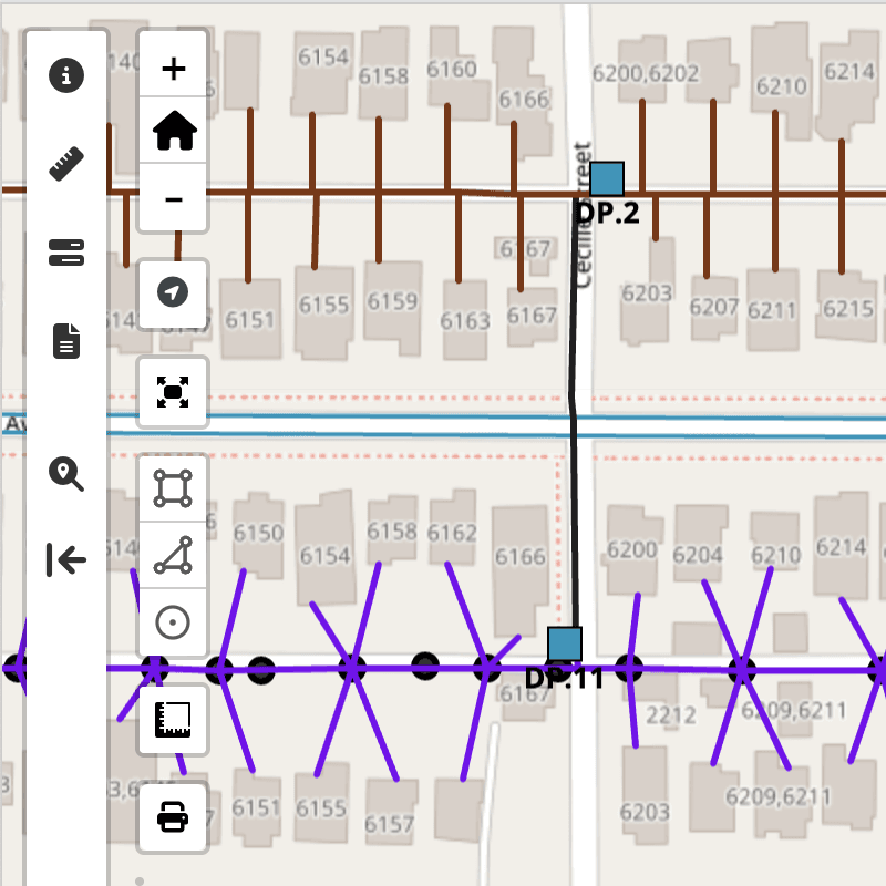
Track progress in the map view
Cloud based Collaboration
Highly detailed basemap of all scans
Near realtime visibility of scans
Integrated ticket system
QA and As-Builts
High resolution geo-oriented photos
Audit measurements from any browser
Inspect the highly-detailed 3D models
Export as-builts in common formats (Shape, KML, DXF)
Pricing Overview
What you get
Hardware
LiDAR scanner for precise measurements
High Accuracy GNSS Receiver for survey quality accuracy
Rugged casing built or the construction site
Full day battery
Software & Services
Software that works
NET Scan for one click field data collection
NET Cloud for the web map and project viewer
NET Cloud 3D for sub 1” measurments and verifications
Service to stay connected
Mobile data to upload scans and photos
RTK Service for sub 1” GNSS accuracy
Unlimited cloud storage
